Maps relevant for ES evaluation and mapping
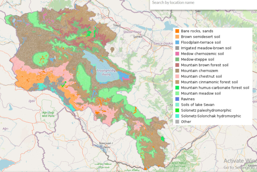
Digital soil map as well as a set of maps of specific soil parameters are available on ArmSIS website. Maps of soil types and their parameters are necessary for evaluation and mapping of ES of runoff regulation, assurance of runoff quality and soil protection.
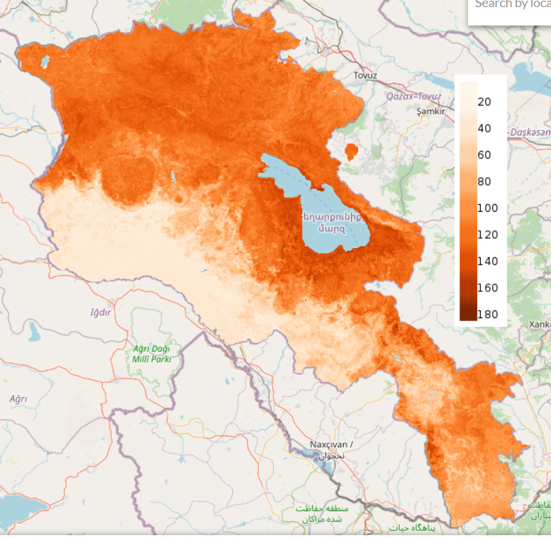
Digital map of soil organic carbon stock, t/ha (0-30 cm) is available on ArmSIS website. That data are necessary for valuation and mapping of climate regulating ES of carbon storage in terrestrial ecosystems.
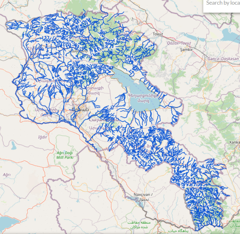
Digital maps of river network and canals are available on ArmSIS website and are necessary for valuation and mapping of ES of assurance of runoff quality.
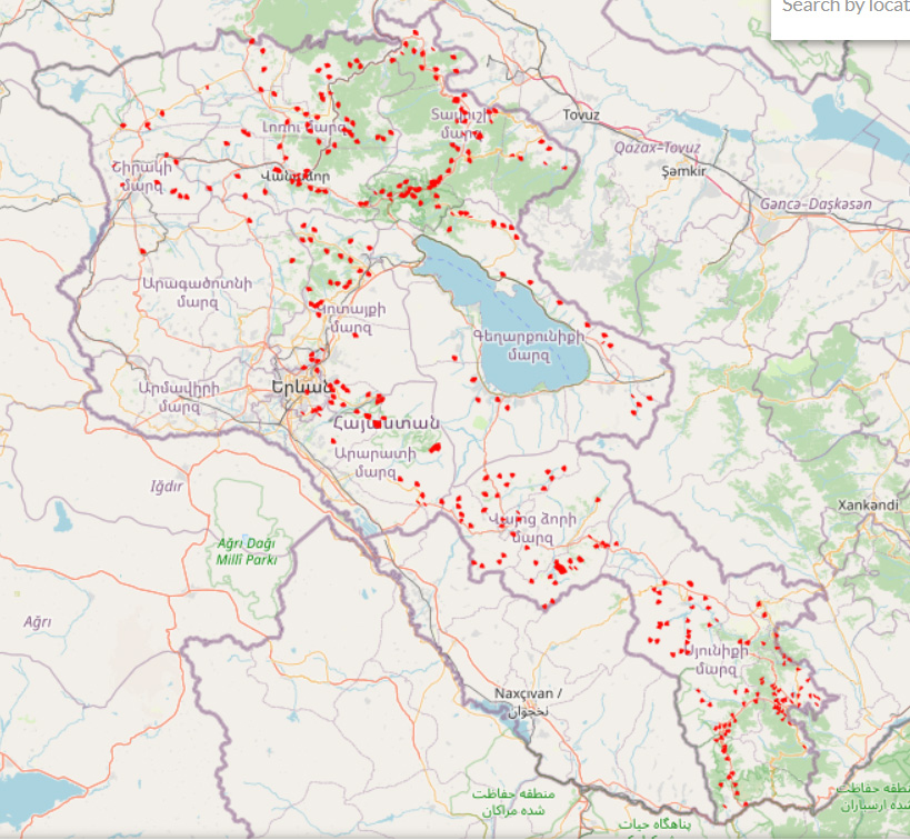
Digital map of landslide locations is available on ArmSIS website and is necessary for valuation and mapping of ES of soil protection and preventing natural disasters.
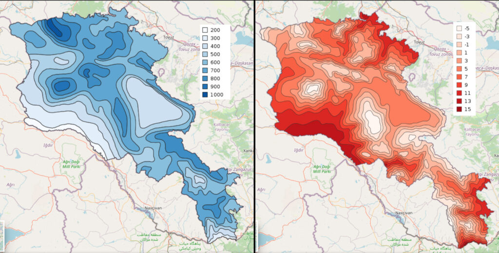
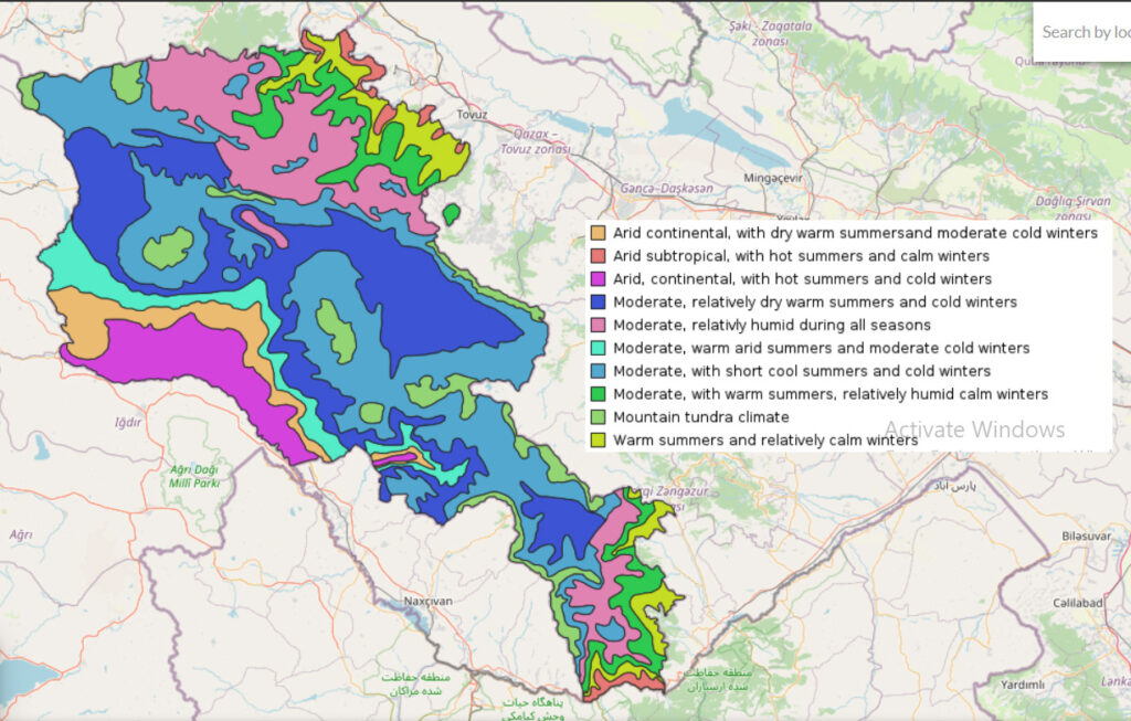
Digital maps of climate parameters are available on ArmSIS website and can be used for valuation and mapping of climate-regulating ESs. The maps for precipitation, temperature, and climate zones are shown below.
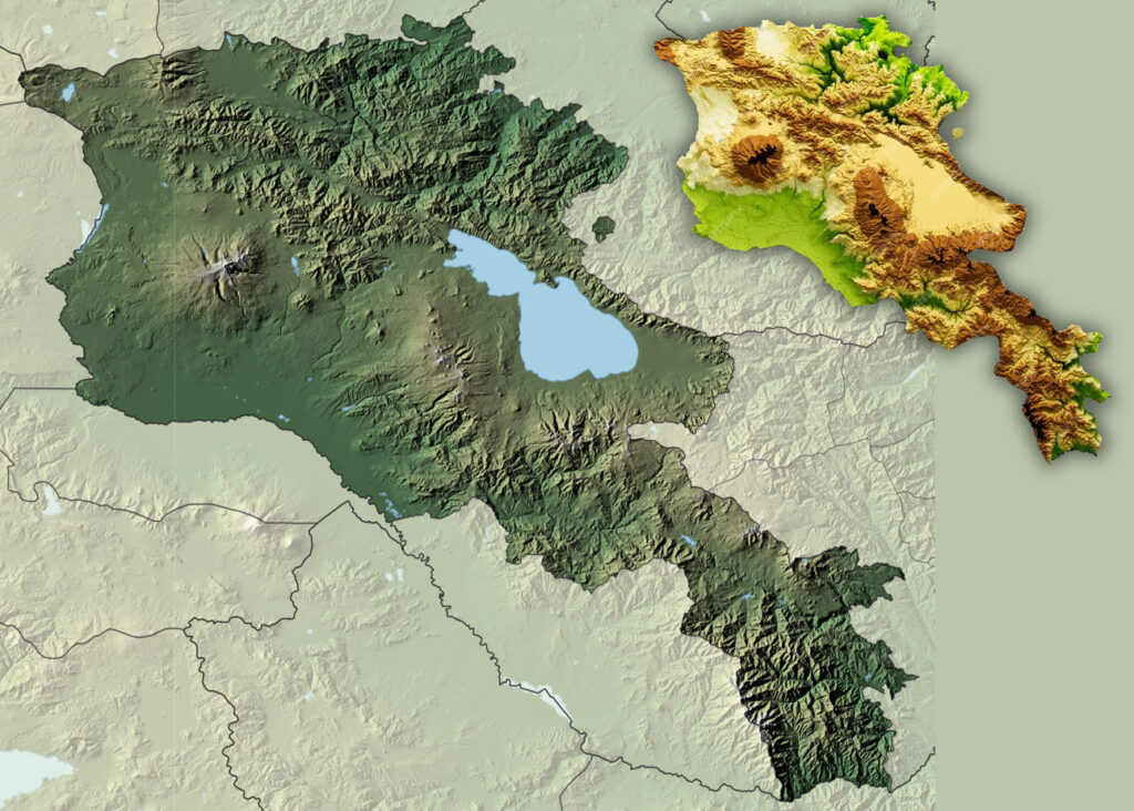
Digital elevation models (in figure is shown 517design. Собственная работа, CC BY-SA 4.0, https://commons.wikimedia.org/w/index.php?curid=84985541)
Vegetation indices:
– Copernicus: NDVI, Dry Matter Productivity, Leaf Area Index, Vegetation Condition Index, Vegetation Productivity Index, Fraction of green Vegetation Cover, Soil Moisture
– NDVI from NASA
